Rio Laja Trail
The Rio Laja Trail is a walking and biking trail following the banks of the Rio Laja in San Miguel de Allende, Guanajuato, Mexico, from the Presa Ignacio Allende to approximately Dolores Hidalgo; spanning 32.43 miles (51.9 kilometers). The trail is based upon foot paths that have been established by rural residents over many years.
Community volunteers, helped to map and document the trail and important waypoints to promote recreational use of the trail system for exercise, viewing birds and wildlife and enjoying the quiet and beauty of nature. We also hope to raise awareness of the importance of the Rio Laja as a water resource in the San Miguel municipality and the need to protect and restore this fragile waterway.
Rio Laja Trail Guide
The Rio Laja Trail Guide consists of 12 sections of river trail. Each section is roughly two to three miles (3.2 – 4.8 km) in length.
In the area below you will find printable trail guides for each section, that include trail head locations, distance, difficulty and descriptive information with photos.
You will also find a link to the AllTrails online map where you can view the trail map, along with pictures and descrptions. From this site you can also download GPS coordinates into your phone.
- During high water season, you may find yourself traveling on private property. These are customary routes, but please be respectful and stay on the trail.
- Trails recommended for biking (mountain bikes only) are denoted in each section below. Keep a close eye out for variable trail conditions and low branches or cacti.
- Please leave a light footprint when using the trails and pack out everything you bring in.
Happy Trails!
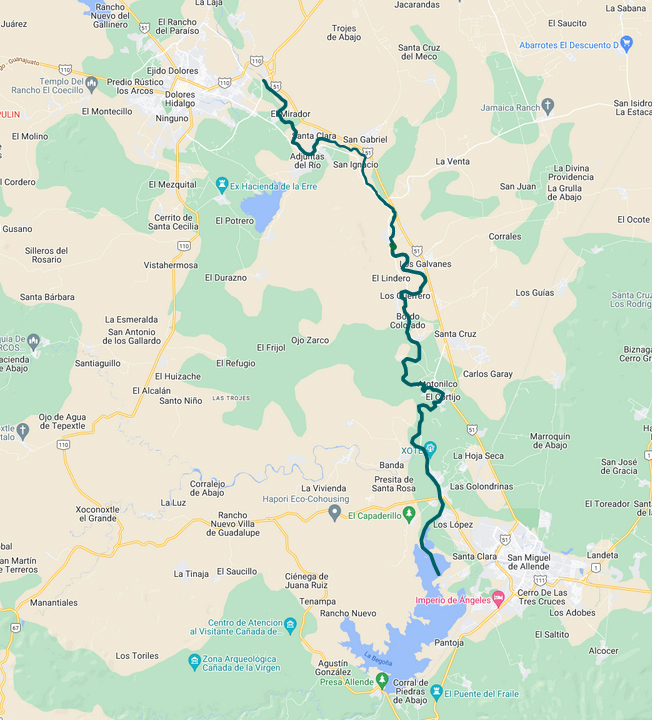
Rio Laja Trail Printable Trail Guides and AllTrails Links
Section 1: Abandoned Hacienda Trail
Section 1: Abandonded Hacienda Trail
Trailhead: Road to Otomi. Total miles: 2.17 (3.49 km) Bike friendly, easy intermediate. May be flooded during the high water season.
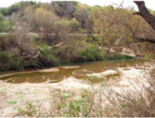
Section 3: Xote Trail
Section 3: Xote Trail
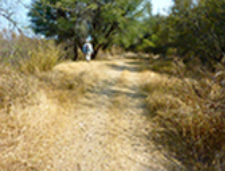
Section 4: Santuario Trail
Section 4: Santuario Trail
Trailhead: Casa de Aves Bridge Total miles: 3.55 (5.71 km) Bike friendly.
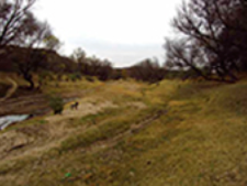
Section 5: Monasterio Nuestra Señora de la Soledad
Section 5: Monasterio Nuestra Señora de la Soledad
Trailhead: San Miguelito Total miles: 2.64 (4.25 km) Bike friendly, intermediate.
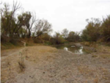
Section 6: Yellow and Purple House Trail
Section 6: Yellow and Purple House Trail
Trailhead: Monasterio Total miles: 2.24 (3.60 km) Bike friendly, easy intermediate.

Section 8: Capilla de San Judas Tadeo
Section 8: Capilla de San Judas Tadeo
Trailhead: Casa de Aves Bridge Total miles: 3.55 (5.71 km)
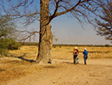
Section 9: White Pillar Trail
Section 9: White Pillar Trail
Trailhead: Pueblito Capilla de San Judas Tadeo Total miles: 3.25 (5.23 km)
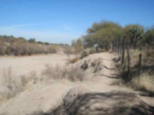
Section 10: KM 79 Trail
Section 10: KM 79 Trail
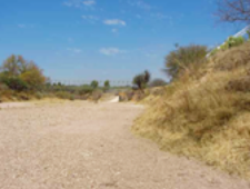
Section 11: Blue House Trail
Section 11: Blue House Trail
Trailhead: KM 79 Marker Total miles: 3.1 (4.99 km) Bike friendly, intermediate.
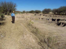
Section 12: San Luis de la Paz Bridge
Section 12: San Luis de la Paz Bridge
Trailhead: Rioyos soccer field Total miles: 2.09 (3.36 km) Bike friendly, intermediate.
Subscribe to our newsletter
Our monthly newsletter will keep you up to date on our scheduled events, our work, and features monthly nature-related articles.
